Four Counties & the Welsh Canals: Waterways Guide 4 (Collins Nicholson Waterways Guides)
Nonfiction, Travel, Europe, Great Britain, Reference & Language, Transportation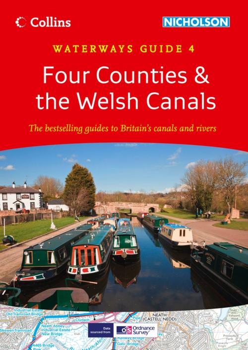
| Author: | Collins Maps | ISBN: | 9780007488582 |
| Publisher: | HarperCollins Publishers | Publication: | August 15, 2013 |
| Imprint: | Nicholson | Language: | English |
| Author: | Collins Maps |
| ISBN: | 9780007488582 |
| Publisher: | HarperCollins Publishers |
| Publication: | August 15, 2013 |
| Imprint: | Nicholson |
| Language: | English |
50 years as the number 1 waterways guide. This ebook is best viewed on Kindle Fire in landscape mode to optimise your experience. Guide covering the canals and waterways in Wales and to the south of Liverpool. Waterways covered in this guide – Caldon and Leek Canals, Llangollen Canal, Monmouthshire & Brecon Canal, Neath & Tennant, and Swansea Canals, Montgomery Canal, Shropshire Union Canal, Staffordshire & Worcestershire Canal, Trent & Mersey Canal, River Weaver. Guide includes;• Detailed Ordnance Survey® maps• Descriptive text describing the canals• Comprehensive navigational notes Published for 50 years, the Collins/Nicholson guides to the waterways have always been a vital part of journeys along Britain’s canals and rivers. They are designed for anyone and everyone with an interest in Britain’s inland waterways – from experienced boaters to those planning their first boat trip, as well as walkers, cyclists and visitors.
50 years as the number 1 waterways guide. This ebook is best viewed on Kindle Fire in landscape mode to optimise your experience. Guide covering the canals and waterways in Wales and to the south of Liverpool. Waterways covered in this guide – Caldon and Leek Canals, Llangollen Canal, Monmouthshire & Brecon Canal, Neath & Tennant, and Swansea Canals, Montgomery Canal, Shropshire Union Canal, Staffordshire & Worcestershire Canal, Trent & Mersey Canal, River Weaver. Guide includes;• Detailed Ordnance Survey® maps• Descriptive text describing the canals• Comprehensive navigational notes Published for 50 years, the Collins/Nicholson guides to the waterways have always been a vital part of journeys along Britain’s canals and rivers. They are designed for anyone and everyone with an interest in Britain’s inland waterways – from experienced boaters to those planning their first boat trip, as well as walkers, cyclists and visitors.